 | ||
| Topographic 3D models : Fagraskógarfjall 2018 landslide and other Vesturland area | ||
This work is part of ANR PERMOLARDS (Projet-ANR-19-CE01-0010). The 7 july 2019, a large landslide occured in Fagraskógarfjall mountain in Hítardalur valley (Iceland). In may 2022, a PERMOLARDS team acquired data during a field mission. This dataset is composed by four topographic models. | 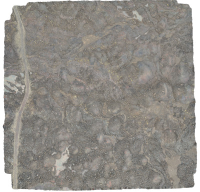 | |
| Downloads and links | ||
| Data | Data_Vesturland_2022.7z | |
| | DataCite - XML - JSON | |
| Interoperable | https://catalog.opgc.uca.fr/geonetwork2/srv/eng/catalog.search#/metadata/e0d6de47-1159-49d8-937b-355a2b252ad6 | |
| Links | https://doi.org/10.25519/VRVOLC https://www.opgc.fr/vobs/Permolards/VRVolc-Web-Vesturland/ | |
| DOI | https://doi.org/10.25519/8zpc-ax16 DOI | |
About this resource | ||
| Keywords | Geology, Elevation, Landslide, Topography, 3D model, Fagraskógarfjall, Dataset | |
Ressource Type | Dataset | |
| License | Creative Commons Attribution 4.0 International | |
Funding references | ||
| Creators | Emmanuel Delage, Susan Conway, Costanza Morino, Benjamin van Wyk de Vries | |
Creation date | 2022-04-22 | |
| Publisher | OPGC, LPG | |
Publication year | 2024 | |
Technical information | ||
Spatial extent | ||
| Formats | OBJ | |
| Software | ||
| Lineage | ||